Heading Towards the Baltic Shore!
New Online Maps Enhance Travel in Lübeck Bay and Ostsee Vacationland
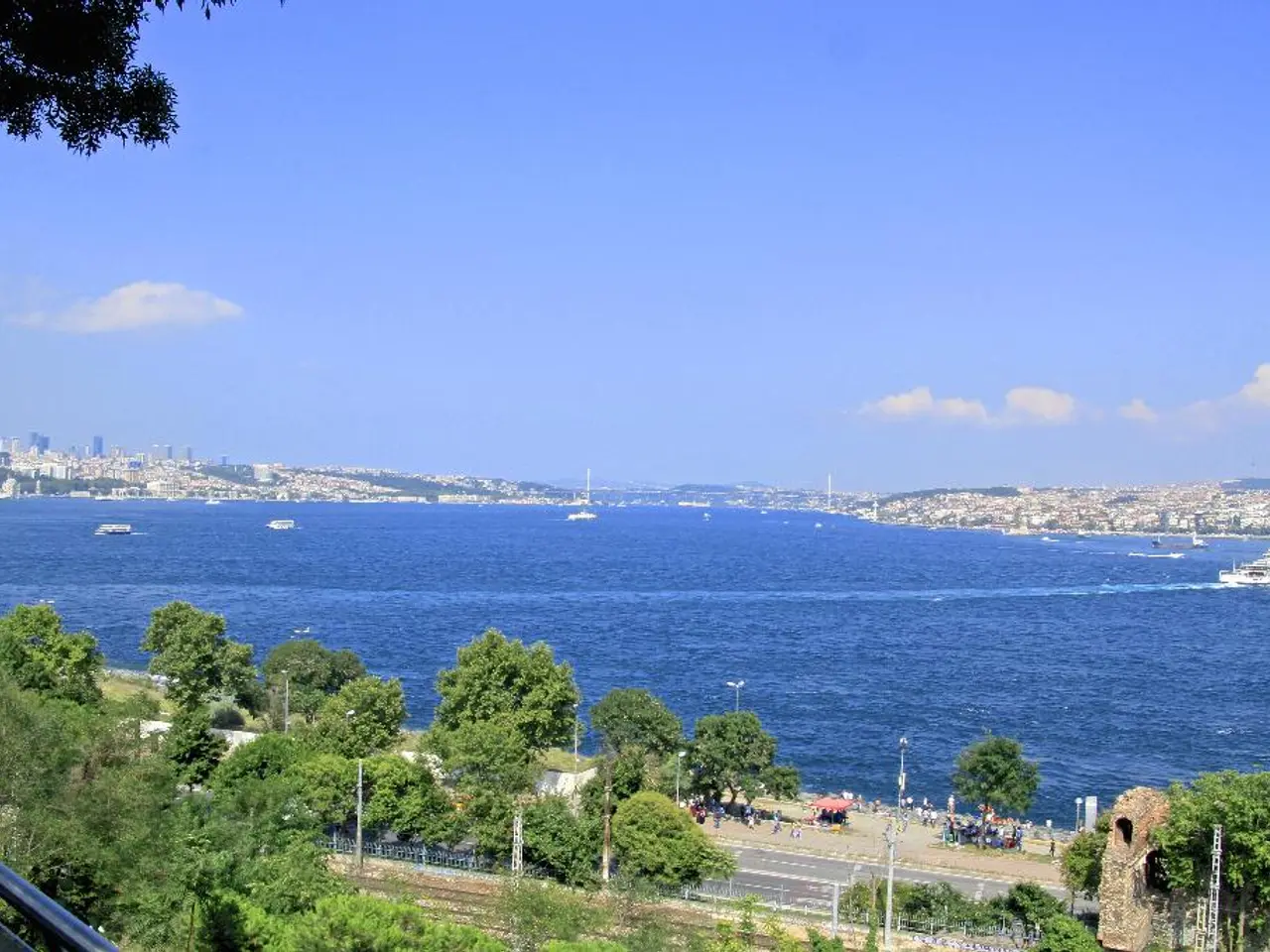
Travelers planning a trip to the picturesque coastal regions of northern Germany can now access detailed and user-friendly maps to aid their exploration. The 2025 local maps for the popular vacation destinations of Lübeck Bay and Ostsee Vacationland are now available online, offering convenience and practical information for visitors.
Details and Features of the 2025 Local Maps
The maps provide comprehensive coverage of the regions, with detailed information tailored to each area. In Lübeck Bay, the maps highlight towns, beaches, cycling routes, hiking trails, nature reserves, and cultural landmarks. Meanwhile, Ostsee Vacationland maps cover key vacation spots along the Baltic Sea coast, including family-friendly beaches, resorts, local attractions, and natural parks.
The maps are rich in content, featuring detailed street and trail layouts, points of interest such as tourist information centers, accommodations, restaurants, and health facilities. They also mark recreational activities like water sports, cycling paths, and hiking trails, as well as public transportation routes and stops. Accessibility information for certain tourist sites and beaches is also included, along with an overview of seasonal events and local festivals.
The maps boast a high-quality, easy-to-read cartographic design, with clearly marked symbols and color-coded routes for quick navigation. A legend and multilingual information, mainly in German and English, are also included.
Distribution Points and Digital Access
Physical copies of the maps can be obtained at tourist information offices located in major towns and popular resorts within Lübeck Bay and Ostsee Vacationland. They will also be available at hotels, holiday apartments, and local businesses partnering with the region’s tourism boards, as well as selected gas stations and public transportation hubs. Visitor centers at key entry points and ferry terminals will also stock the maps.
For those preferring a digital version, downloadable PDFs are available on the official regional tourism websites. Interactive map versions can be accessed via dedicated tourism apps for smartphones, and QR codes printed on the physical maps allow quick digital access to updated route conditions, event calendars, and service notifications. The maps can also be integrated with GPS-based navigation and trip planning tools for offline use.
Enhancing the Vacation Experience
These maps are designed to provide both practical navigation aid and comprehensive leisure information, thereby enhancing the vacation experience in Lübeck Bay and Ostsee Vacationland. With up-to-date local maps now readily available, both online and in physical form, visitors are well-equipped to explore these beautiful regions with ease. If you plan to visit, picking up a physical map at local distribution points or downloading the digital version beforehand is highly recommended.
Read also:
- Impact of Cultural Factors on Childhood Growth and Development Within Nigerian Communities
- Intensified gastronomy crisis leaves eateries vacant in Karlsruhe
- Misconceptions About That Name's Significance are Commonly Inaccurate
- The Cultural Significance of SB19's Simula to Wakas World Tour in Dubai: A Pinoy Pop Boy Band Landmark Event


