
Revamped Folding Map for Bike Route Navigation
In an exciting development, the Niers Cycling Route, which stretches from Mönchengladbach to Gennep, passing through Viersen, Kleve, and the Netherlands, has received an update to its informational materials. This project, co-financed by the European Union (EU) as part of the Interreg program Germany-Netherlands, has resulted in a comprehensive and visually appealing foldable map.
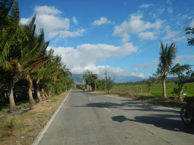
The updated map, available free of charge, offers a unique experience of the rural landscape of the Lower Rhine region, meticulously detailing the 128-kilometer signposted trail. It can be found at several locations, including Kreishaus, Rathausmarkt 3 in 41747 Viersen, Kreisvolkshochschule, Willy-Brandt-Ring 40 in 41747 Viersen, and Haus der Wirtschaft, Willy-Brandt-Ring 13 in 41747 Viersen. Additionally, the map can be found in the town halls and service offices of the municipalities belonging to the district.
For those who prefer to request the map via email, citizens can send a polite request to [email protected], including their postal address for physical delivery if needed. The map is available in both German and Dutch, making it accessible to a broad audience.
Originally, there were three flyers about the route, but the updated materials have been combined into a single, easy-to-carry foldable map. The map not only clearly shows the route of the Niers Cycling Route but also includes valuable information and highlights along the way. This makes it an essential tool for cyclists planning their journey.
Whether you're a seasoned cyclist or a newcomer to the Niers Cycling Route, this updated map promises to enhance your experience of this unique trail away from urban centers, offering a glimpse into the rich rural landscape of the Lower Rhine region.


